Bannerghatta Road to Bangalore Distance
Featured Image of Bannerghatta Road to Bangalore Distance


Bannerghatta Road is in South Bangalore and is already part of Bangalore city. So, there is no separate distance between Bannerghatta Road and Bangalore. Depending on the location, central Bangalore is around 10–15 km away. Areas like Electronic City, JP Nagar, Jayanagar, and Koramangala are closer. The road also has good connectivity to major residential areas, offices, and other important parts of the city.

Bannerghatta Road to Bangalore Distance


Bannerghatta Road is one of the major roads in South Bangalore. It starts around the Dairy Circle area and extends towards Bannerghatta, making it an important route between central Bangalore and the southern parts of the city.
The exact distance from Bannerghatta Road to Bangalore depends on which part of the road you are travelling from and which area of Bangalore you are visiting. For example, the distance from the Bannerghatta Road area to central Bangalore can be around 10–15 km. At the same time, locations such as JP Nagar and Jayanagar can be reached in a shorter distance. This location is also connected to major roads such as NICE Road, Outer Ring Road, Hosur Road, and Kanakapura Road. These connections make it easier for residents to travel to different parts of Bangalore.

Bannerghatta Road to Bangalore Distance by Metro


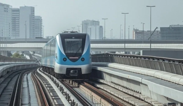
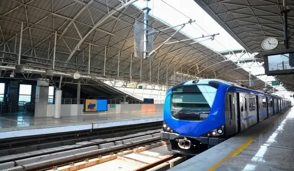
The Bannerghatta Road to Bangalore metro distance is around 13.8 km on the new Pink Line. The direct metro route can take about 25 minutes. At present, people can take the Green Line from Jayanagar or RV Road, which are around 3–5 km from Bannerghatta Road. From Majestic, the metro distance is about 15.2 km with a line change. The ticket price is around ₹35–₹45. Passengers can pay using a Namma Metro smart card or a QR ticket.

Metro Route Line Total Distance Travel Time Metro Ticket Price Key Stations
Majestic to RV Road (Green Line) 8.2 km 16 mins ₹28 Majestic to RV Road
Majestic to Kalena Agrahara (Pink Line) 13.8 km 25 mins ₹40 - ₹45 Swap at MG Road or Jayadeva
Dairy Circle to Nagawara (Pink Line) 13.9 km 22 mins ₹38 - ₹42 Underground Tunnel Path
Jayadeva to Electronic City (Yellow Line) 18.5 km 28 mins ₹45 Large Multi-Level Junction

Bannerghatta Road to Bangalore Distance by Bus


The total Bannerghatta Road to Bangalore distance by bus from Majestic is 13 km. The average bus fare is ₹20 to ₹35 per rider. BMTC runs direct bus trips every 10 to 15 minutes. These buses link central Bangalore to all parts of Bannerghatta Road. Board your bus at Kempegowda Bus Station (Majestic). Look for buses heading to Bannerghatta National Park. AC Volvo Vajra buses run daily during office hours.

  • Majestic to Bannerghatta Bus Number: Buses 365, 365J, 365P, 366, and 368 run direct routes.
  • Bus Timings: Every 8 to 10 minutes from Majestic Platform 19 or 20.
  • Bus Ticket Price: Non-AC buses cost ₹18 to ₹25. AC Volvo buses cost ₹40 to ₹50.
  • Key Stops: Dairy Circle, Jayadeva Hospital, Bilekahalli, Hulimavu, Gottigere.

Connectivity from Bannerghatta Road


One of the biggest advantages of Bannerghatta Road is its road connectivity. The area provides access to several important routes across South Bangalore.
NICE Road: NICE Road provides an alternative route towards Electronic City, Kanakapura Road, Mysore Road, and other parts of Bangalore.

Hosur Road: Hosur Road offers good connectivity towards Electronic City and major employment areas.

Outer Ring Road: The Outer Ring Road can be accessed from nearby areas and connects Bannerghatta Road with important business and residential locations.

Bannerghatta Road Distance from Major Bangalore Locations


Here is an approximate distance from Bannerghatta Road to some important areas of Bangalore:

Area Name Distance from Road Drive Time Main Route
JP Nagar 3.5 km 10–12 mins 100 Feet Road
Jayanagar 5.2 km 12–15 mins Bannerghatta Main Road
Koramangala 6.8 km 18–22 mins Tavarekere Main Road
Electronic City 14.5 km 20–25 mins NICE Road
HSR Layout 8.5 km 20–25 mins Outer Ring Road
Whitefield 26.2 km 55–70 mins Outer Ring Road
Bangalore Airport (BLR) 46.5 km 75–90 mins Bellary Road

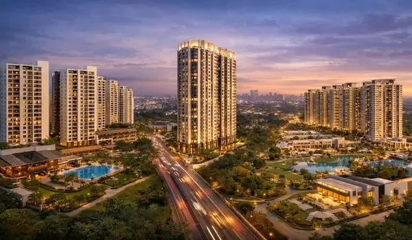
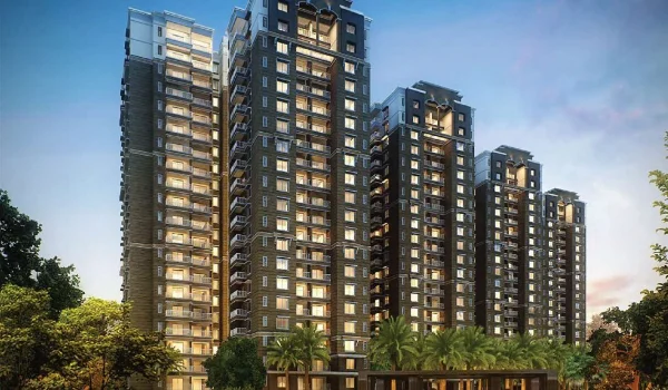
Real Estate Trends: Nambiar Beverly Park


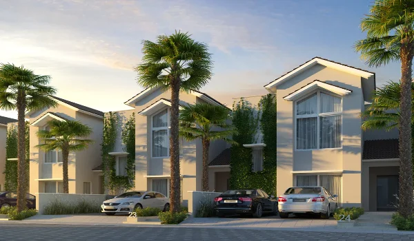
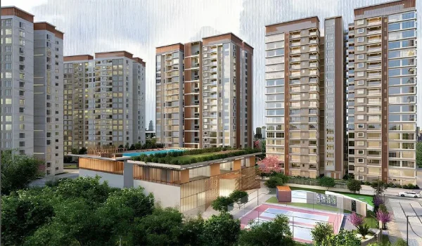
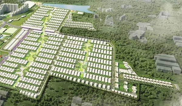
Property prices on Bannerghatta Road average ₹8,500 to ₹14,000 per square foot. New projects like the Pink Line Metro have increased land values here. Home buyers like the new gated plot options in this zone. Nambiar Beverly Park is a top choice for a luxury villa home.

  • Project Name: Nambiar Beverly Park
  • Launch Date: August 2026 (Booking open)
  • Possession Date: January 2031 (Phase 1)
  • RERA Status: K-RERA Applied / Pending Approval Number
  • Property Type: Gated Plot Townships & New Villas
  • Location Perks: Sits off the main road close to NICE Road, good schools, and hospitals.

FAQs


1. What is the distance from Bannerghatta Road to central Bangalore?

The distance is 10 km to 15 km. It depends on your exact starting point on the road.

2. Which bus number goes from Majestic to Bannerghatta Road?

The best Majestic to Bannerghatta bus number is Bus 365. You can also take 365J, 365P, 366, or 368.

3. How far is Apollo Hospital on Bannerghatta Road from Majestic Station?

The Majestic to Bannerghatta Apollo Hospital distance is 11.8 km. The drive takes 35 to 45 minutes.

4. What is the metro ticket price from Majestic to Bannerghatta Road?

The Majestic to Bannerghatta metro ticket price is ₹35 to ₹45. This applies to the Green and Pink line paths.

5. Is Nambiar Beverly Park located near Bannerghatta Road?

Yes, Nambiar Beverly Park sits in this exact area. Its launch date is August 2026, and its possession date is December 2029.

Nambiar Beverly Park Blog


Enquiry
Enquire Now